How to choose the perfect bike route: elevation, surface and safety
How to evaluate a bike route before riding: elevation profile, gradients, road surface, traffic and offline tracks.
Free, in 1 minute: save routes, download the GPX and join group rides.
Sign up free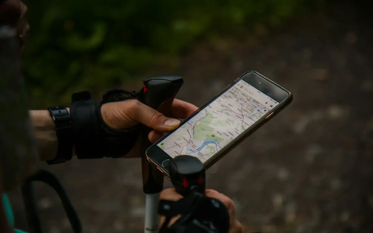
1. Start from your real level
Use your recent rides as reference and increase by 10-15% at most. Elevation tires you far more than flat kilometers.
2. Read the elevation profile
Check where climbs are and their gradient: anything sustained over 10% demands trained legs and the right gears.
3. Surface, traffic and offline track
Match tires to the surface, prefer quiet roads and off-peak hours, and always download the offline track before leaving.
FAQ
How much elevation is ok for a beginner?
Stay under 500 m of climbing for your first rides, then add 100-200 m at a time.
How much water for a 3-hour summer ride?
At least two 750 ml bottles plus a refill halfway. Plan fountains or cafés every 40-50 km before you leave.
What if I lose the GPS track?
Ride back to the last known point. This is why downloading the offline track beforehand is essential.
Loop or out-and-back?
Loops are more fun; out-and-back is safer because you already know half the route.
Keep exploring
Attrezzatura consigliata
Affiliate links: if you buy through these links Velunite receives a small commission, at no extra cost to you.